ALCES
Joro offers licensing and service of ALCES, “A Landscape Cumulative Effects Simulator” tools for conservation organizations, First Nations, governments and developers. Joro, as the sole Manitoba proprietor and as a corporate affiliate with the ALCES Group, provides innovative solutions to land-use planning and cumulative effects assessment. ALCES is a strategic-level simulation tool intended for use by planners, resource managers, the scientific community, industry, and the general public to assist them in making sustainable land-use decisions. ALCES allows diverse stakeholders located in municipalities and other jurisdictions, to explore the economic, ecological, and social considerations of different land-uses on specific landscapes.
ALCES offers a unique and innovative approach in Land Use planning and assisting communities and organizations to fully understand environmental attributes such as wildlife and fish habitat, vegetation, development types, assess potential effects of developments on the environment within lands of interest or jurisdiction.
Joro has conducted a number of ALCES for First Nations, government and conservation organizations. ALCES is often part of an integrated Geospatial package that conforms to GIS software and sophisticated analysis an coding within the Cran-R environment.
A listing of indicator examples are provided in the following pdf documents: Indicators, Regions
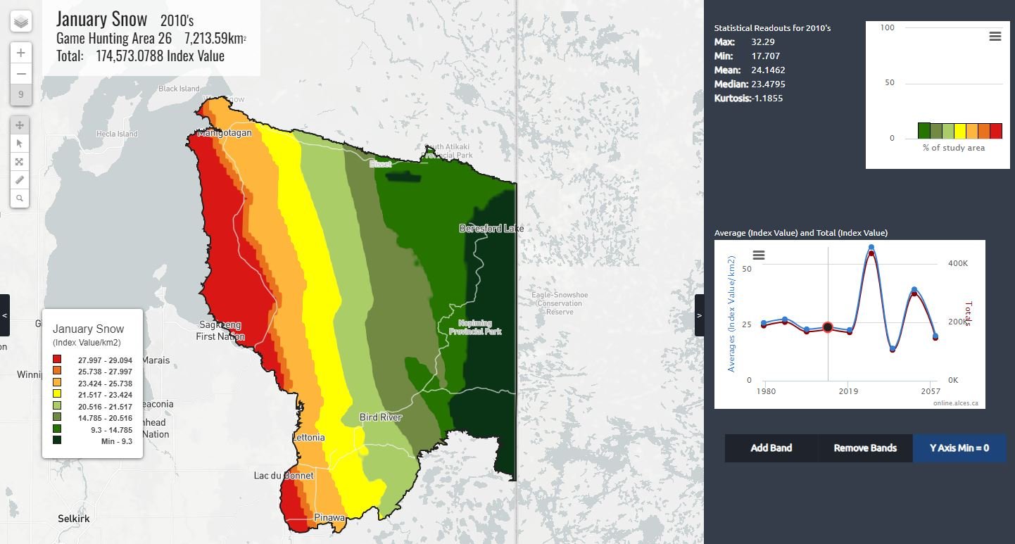
Examples of ALCES map figures shown below:

